Texas is the largest state in the contiguous United States, and contained within its nearly 269,000 square miles are 10 distinct ecoregions, pictured below. An ecoregion is an area that possesses similar characteristics, such as soil types, that differs from other areas in its ability to produce a distinctive kind and amount of vegetation. If you think about Texas, the Pineywoods of east Texas look different from the High Plains of the Panhandle and Gulf Prairies along the coast are much different from the mountains of west Texas.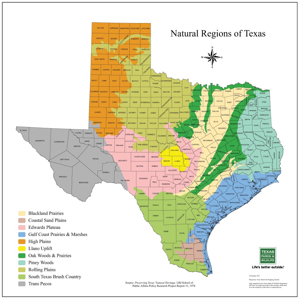
Texas has tremendous plant and wildlife diversity contained within these differing ecoregions. Yet much of this diversity rests with private landowners as approximately 95% of the state is privately owned. Recent land trends suggest that Texas gains about 1,900 new landowners every year. Many landowners are purchasing property for recreational purposes like hunting and fishing or want to incorporate wildlife habitat with their traditional farming and ranching activities. Many landowners want to understand what good wildlife habitat looks like and how to improve their existing habitat. Finding all these answers can be overwhelming at times but on these pages we will show some of the resources available to you via the internet.
The first thing new landowners should know is that wildlife management now qualifies for open-space (1-d-1) appraisal and landowners pay the same amount of taxes as agricultural land. Wildlife management is considered an agricultural activity in Texas. Law requires three out of seven qualifying management practices be conducted as part of a wildlife management plan to maintain open-space valuation. Some management techniques that qualify wildlife management for land appraisal purposes include: grazing management, prescribed burning, brush management, and range enhancement. Much of the data obtained from the monitoring techniques described in WF-001 Native Grassland Monitoring and Management can also be used in annual reports required by many chief appraisers. For a complete discussion on how to obtain open-space appraisal based on wildlife management, read Extension publication ESP-377 Wildlife Management and Property Valuation in Texas or contact your county appraiser.
We cannot understate the value of a good map. As new landowners, that is a common necessity, and will improve your ability to manage your entire property. There are a few easy tools that we use regularly which can also be used by the private landowner.
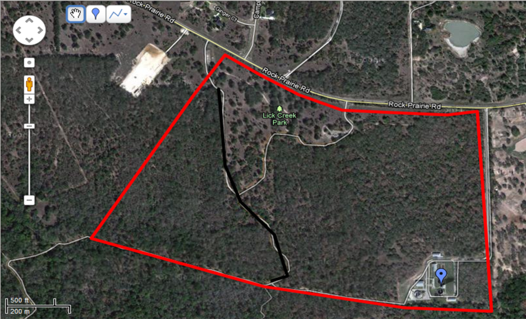
The first is Google Earth. Google Earth will require a free download if you do not already have it installed. This tool is one that can be used in a variety of ways, from desktop to mobile phone. Google Earth is a great first tool for getting an aerial view of your property. This is helpful in developing a feel for the size, shape, and composition of your property. Depending on location, Google Earth provides historical photographs, just look for the timeline at the top and move the button to scroll back and look at historical photographs. You can also measure acreages and lengths, draw lines, polygons, and points, and save for later use.
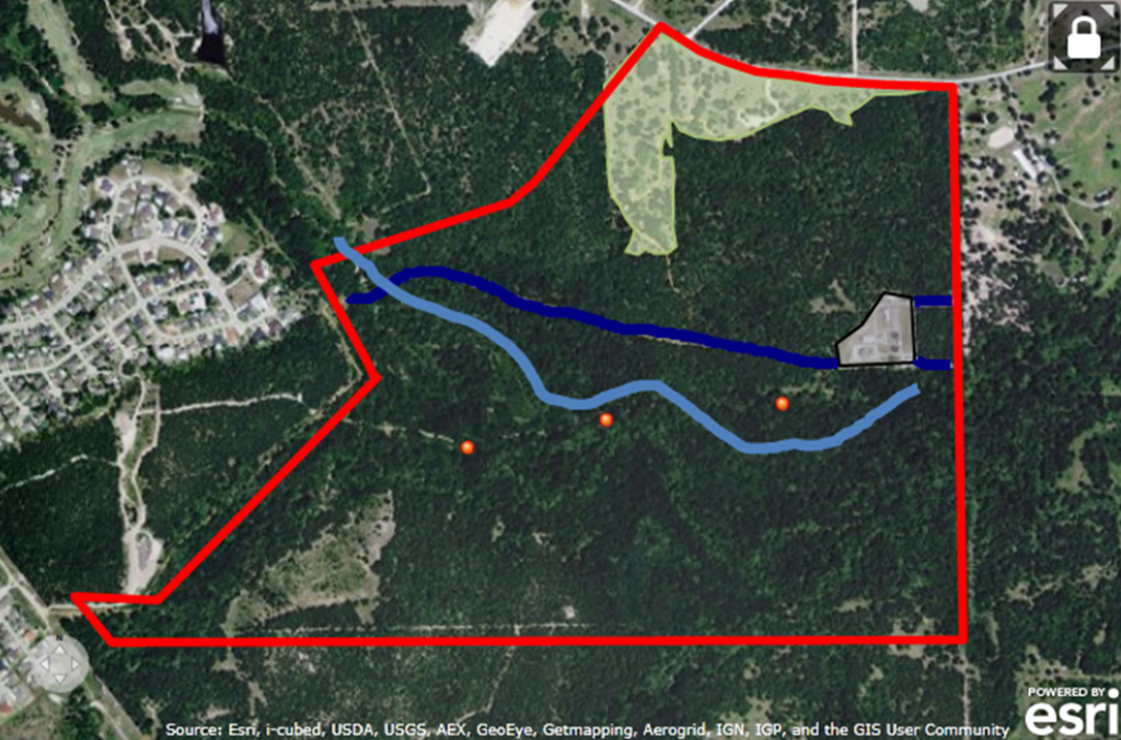
Next we’ll look at ArcGIS Explorer Online. ArcGIS is a powerful mapping system used by professionals in many fields. This system is what the common GPS system is based on, and provides many functions that may or may not be useful for all landowners. For most landowners, satellite views are desired. If you create an account, you can save your maps and use them later, but without membership, there are a variety of functions to use. Likely the most useful is the “measure” tool. This tool can measure lines or polygons, translating into measurements of lines, such as roads, fences, etc, or shapes, such as the overall shape of your property, pastures, etc.
Landowners across the state can access the Trinity River Information Management System, or TRIMS, which is a free mapping tool developed by the Texas A&M Natural Resources Institute. TRIMS can be accessed through the internet and doesn’t require a download. TRIMS allows you to measure acreage and lengths, draw lines, polygons, and points, and print the map for in the field use. For counties in the middle and lower Trinity River basin south of Dallas, TRIMS provides access to local soil, elevation, hydrology, and vegetation cover data that is especially useful for restoration projects on the land. Finally, TRIMS can display the restoration potential for landowners interested in bottomland hardwood and native grassland restoration on their property.
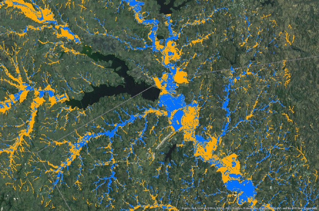
Blue areas show existing bottomland hardwood forest, while yellow areas show potential restoration areas.
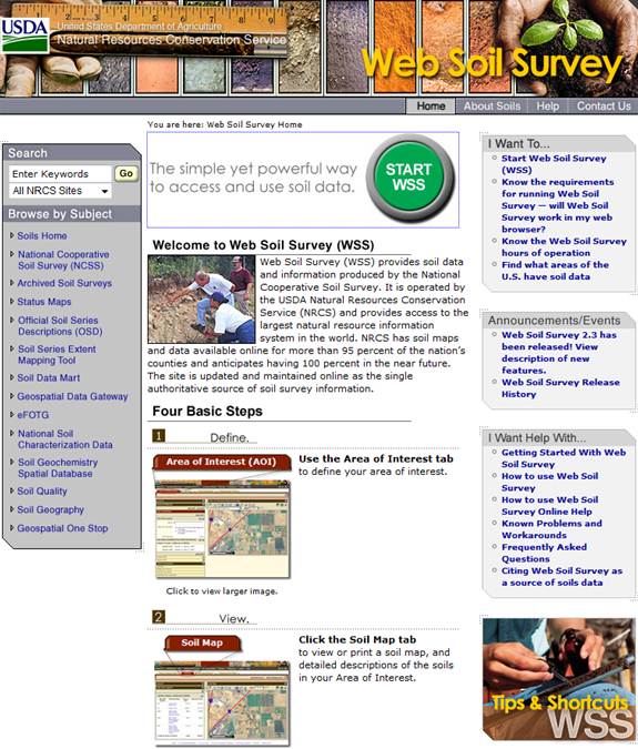
Finally, the Web Soil Survey tool developed by the Natural Resources Conservation Service provides information on the soils on your property. It is important to know the soils on your property, as the soil type can predict the vegetative species that can grow on your property. This website allows you to select a specific area and learn valuable information for those soil types, such as which plants grow best, infiltration rates, and more. You can also print a map of the area to know approximately where different soil types are located on your property. This information has also been developed into a smartphone app for the iphone and Android platforms, called SoilWeb.
We hope this information provides a good starting point for you as you begin to manage your land for wildlife or incorporate wildlife into your farm or ranch operation. Feel free to contact your nearest County Extension Agent or Extension Wildlife or Fisheries Specialist for more information.
Also see: Know Your Soils, Know Your Plants, Know Your Wildlife and Fish, Resource Professionals
